File:HRR 1400 30km.png
Error creating thumbnail: File with dimensions greater than 12.5 MP
Other resolution: 3,715 × 3,966 pixels.
Original file (3,715 × 3,966 pixels, file size: 7.07 MB, MIME type: image/png)
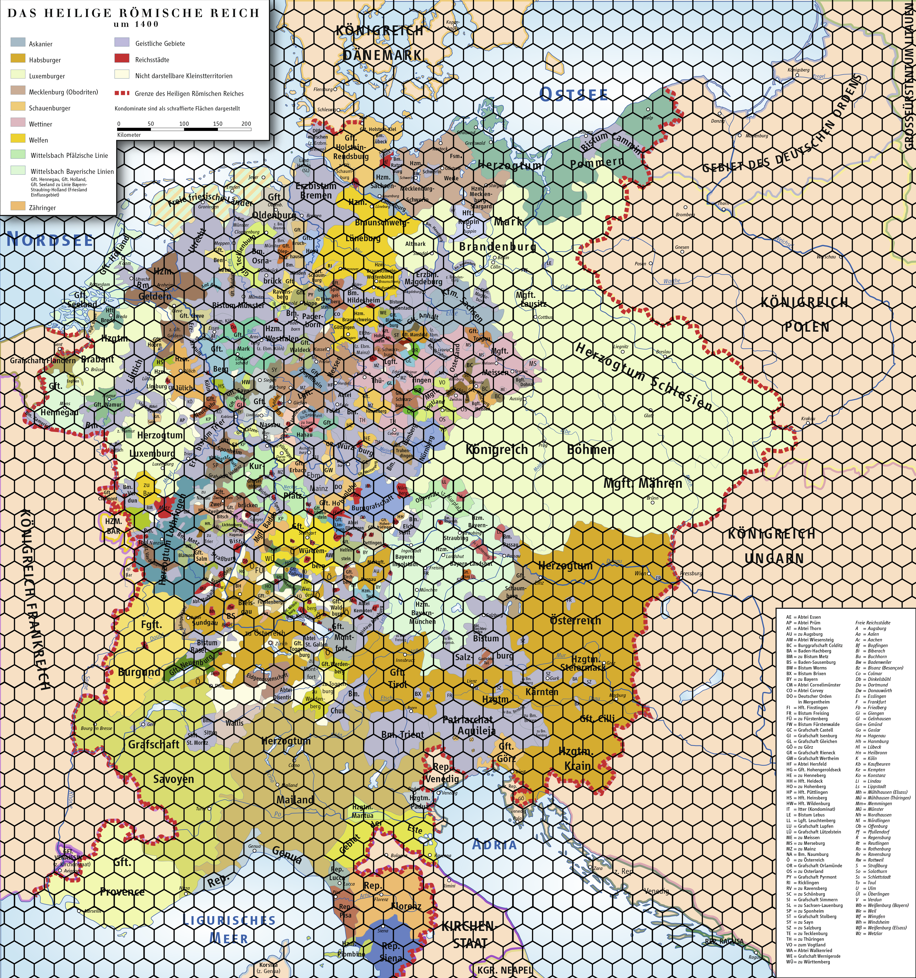
A map of the Holy Roman Empire in 1400, overlaid with a hex grid at 30km per hex (between pairs of parallel sides).
File history
Click on a date/time to view the file as it appeared at that time.
| Date/Time | Thumbnail | Dimensions | User | Comment | |
|---|---|---|---|---|---|
| current | 13:27, 2 November 2016 | Error creating thumbnail: File with dimensions greater than 12.5 MP | 3,715 × 3,966 (7.07 MB) | Neutrondecay (talk | contribs) | A map of the Holy Roman Empire in 1400, overlaid with a hex grid at 30km per hex (between pairs of parallel sides). |
You cannot overwrite this file.
File usage
There are no pages that use this file.