Scarlet Principalities Regional Maps: Difference between revisions
Jump to navigation
Jump to search
Thirdkingdom (talk | contribs) Created page with " *Each hex = 6 miles *Purple lines are ley lines *Thick red lines are existing hex clusters *Dashed red lines are political borders within the Scarlet Principalities *Blue..." |
Thirdkingdom (talk | contribs) No edit summary |
||
| Line 1: | Line 1: | ||
[[ | [[The_World_of_Absalom]] | ||
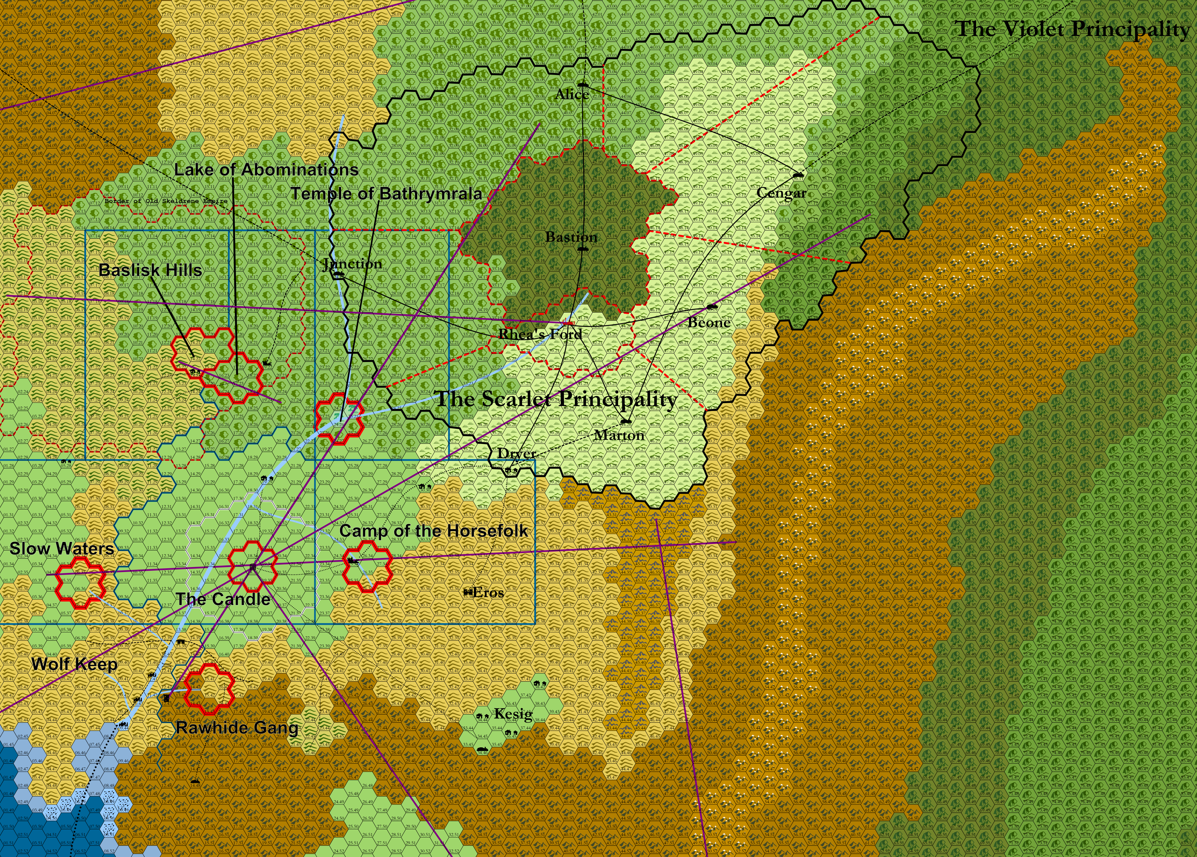
*Each hex = 6 miles | *Each hex = 6 miles | ||
Latest revision as of 12:16, 1 December 2021
- Each hex = 6 miles
- Purple lines are ley lines
- Thick red lines are existing hex clusters
- Dashed red lines are political borders within the Scarlet Principalities
- Blue lines are borders of the planned supplemental hex crawls.
