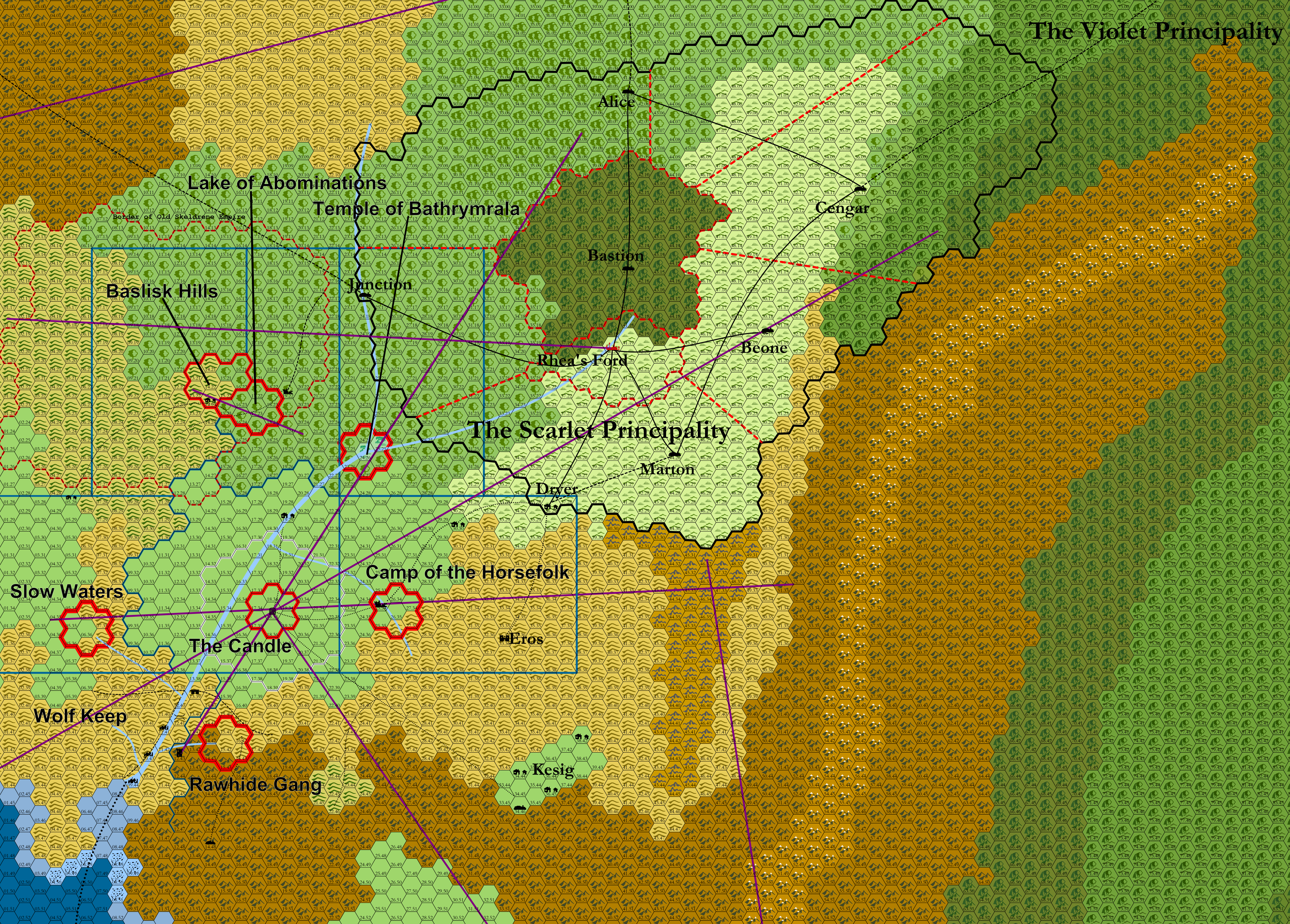
Scarlet Principalities Regional Maps
- Each hex = 6 miles
- Purple lines are ley lines
- Thick red lines are existing hex clusters
- Dashed red lines are political borders within the Scarlet Principalities
- Blue lines are borders of the planned supplemental hex crawls.
